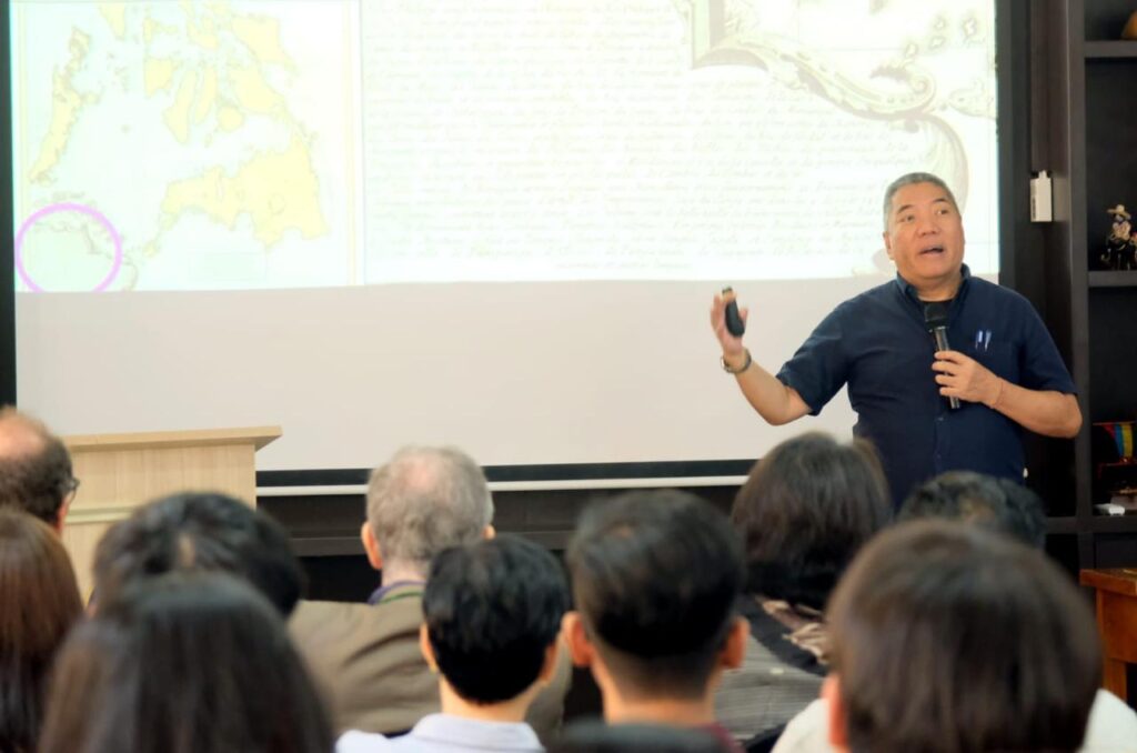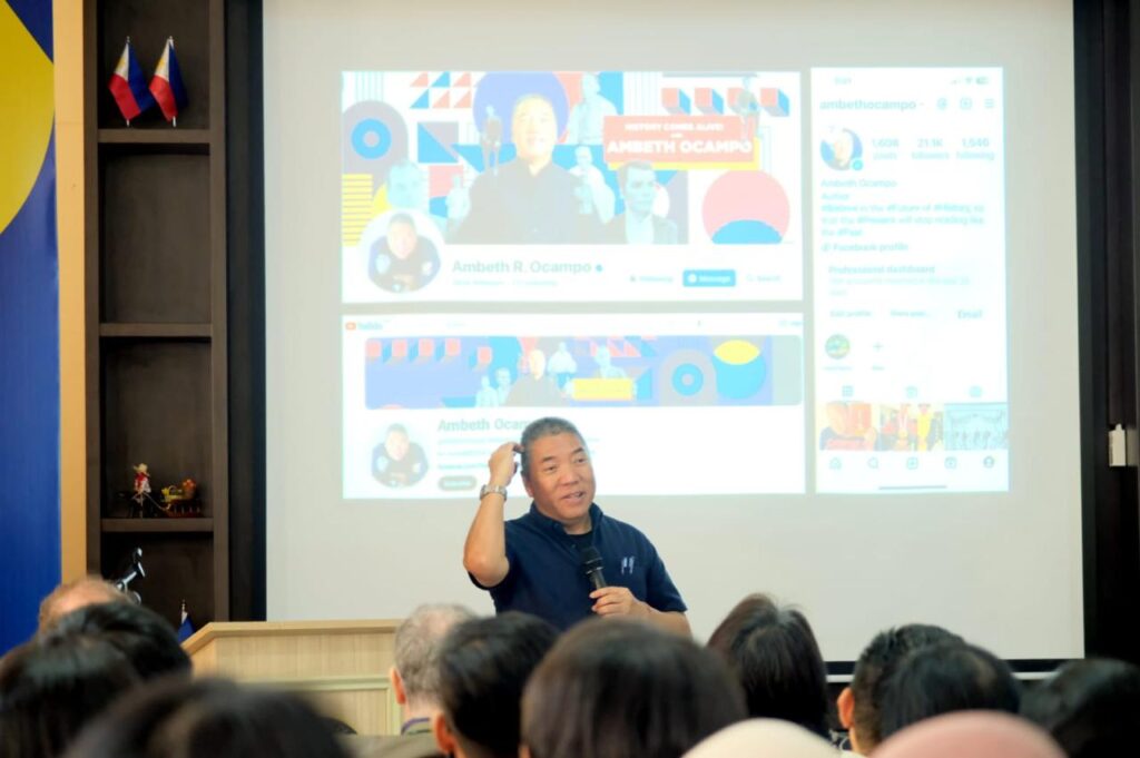
In commemoration of the 75th Anniversary of Diplomatic Relations between the Philippines and Indonesia, and the annual celebration of Maritime and Archipelagic Nations Awareness Month (MANA MO), the Philippine Embassy in Indonesia invited prominent historian, Ambeth R. Ocampo, to give an insightful lecture on Philippines’ national history, shown through maps.
Ambeth R. Ocampo is a public historian and independent curator whose research covers 19th century Philippines: its art, culture, and prominent figures in the birth of the nation. He writes ‘Looking Back’, the longest running editorial page column in history for the Philippine Daily inquirer. His essays have been compiled and published in 35 books, the most recent being ‘History in Lockdown’ (2024), ‘Cabinet of Curiosities: History of Philippines Artifacts’ (2023), and ‘Rizal Without the Overcoat’ in print for the past 34 years.

Ocampo was the keynote speaker at ‘Maps and the Emergence of the Filipino Nation’, held on 21 September 2024 at the Philippines Embassy office in Jakarta. The event was part of the exhibition ‘Arthefact 3.0 Temporary Exhibition, Monumental Ships: Shared Cultural Heritage, Shared Memories’ held at the Maritime Museum, Jakarta, 22 August to 26 October 2024.
In his lecture, he shared the maps of the Westerners and their impact on the development of a nation. He also talked about the maritime cultures of the Philippines and Indonesia, which had a lot in common.
“When Western people came and they gave us maps, we thought that the definition was that islands are separated by water. However, when you look at the pre-colonisation of Southeast Asia, you will realise that it is water that connects us, it does not separate us,” Ambeth Ocampo said during the lecture.

He also shared his experience when he went to Borobudur temple in Magelang, Central Java. He felt there was a correlation between the Philippines and Indonesia because he saw pictures of ships or vessels there.
“When I went to Borobudur I was looking at the images of the ships. Some of the characteristics of those ships were also like ancient Philippines ships, so I’m sure there are some connections somewhere, but that’s more for our archeologist to study”, he explained.
Ocampo explained that these old maps showed that although the Philippines was made up of many islands, sea water connected the different regions of the Philippines, rather than separating them. Ocampo also emphasised that understanding maritime history was significantly important and asserted that history and maps played a big role in strengthening the Philippines’ national identity and strengthening relations with neighbouring countries like Indonesia.

Gina A. Jamoralin, Ambassador Extraordinary and Plenipotentiary of the Philippines said that through this event they wish to raise awareness about the country among Indonesians as part of a cross-cultural dialogue and exchange — a way for each country to get to know each other.
Regarding the relationship between the Philippines and Indonesia in the maritime sector, the Ambassador said that the two countries have the same maritime borders especially in the Sulawesi sea and have cooperation in maritime security which includes maritime protection on natural resources, fishermen, etc.
“This cooperation is to ensure peace and security in Southeast Asia. In addition to this, we also have cultural cooperation. As in Ambeth Ocampo’s lecture that talked about maritime maps and culture, I think people in Southeast Asia already knew how to use water as their highway before the Westerners came. So, I emphasise that the Philippines and Indonesia share that maritime culture.” the Ambassador Gina A. Jamoralin explained.
As the world’s largest archipelago, there is surely a lot of wisdom Indonesians can gain by adopting this perspective of our ‘seas connecting us’.
Stay connected to the PH Embassy in Indonesia:
@phlinindonesia
jakartape.dfa.gov.ph


